MAKE A MEME
View Large Image
 MemeMaker
| View Original: | Киевская_губерния_Игральная_карта.png (800x1200) | |||
| Download: | Original | Medium | Small | Thumb |
| Courtesy of: | commons.wikimedia.org | More Like This | ||
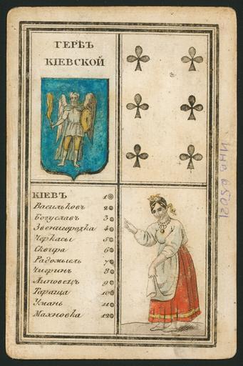
| Keywords: Киевская губерния Игральная карта.png ru Киевская губе� ния Иг� альная ка� та � ачало XIX века en This early-19th century playing card is from a set of 60 such cards each devoted to a different province or territory of the Russian Empire which at the time included the Grand Duchy of Finland Congress Poland and Russian America One side of each card shows the local costume and the provincial coat of arms; the other side contains a map This card depicts Kiev Province part of present-day Ukraine Kiev Kyiv in Ukrainian situated on the Dnieper Dnipro in Ukrainian River was the capital of Kievan Rus' in the 10th-12th centuries Kiev was the administrative center of the province and is the capital of present-day Ukraine The card indicates that the distance from Kiev to St Petersburg was 1 249¼ versts and from Kiev to Moscow 876¾ versts A verst is a Russian measurement of distance no longer used equal to 1 0668 kilometers XIX c http //www wdl org/ru/item/4497/ Г� ибанов К � PD-old-100 Uploaded with UploadWizard Coats of arms of Kiev Governorate Russian National Library collection Images from the World Digital Library | ||||